Select an image to reveal What Lies Beneath…
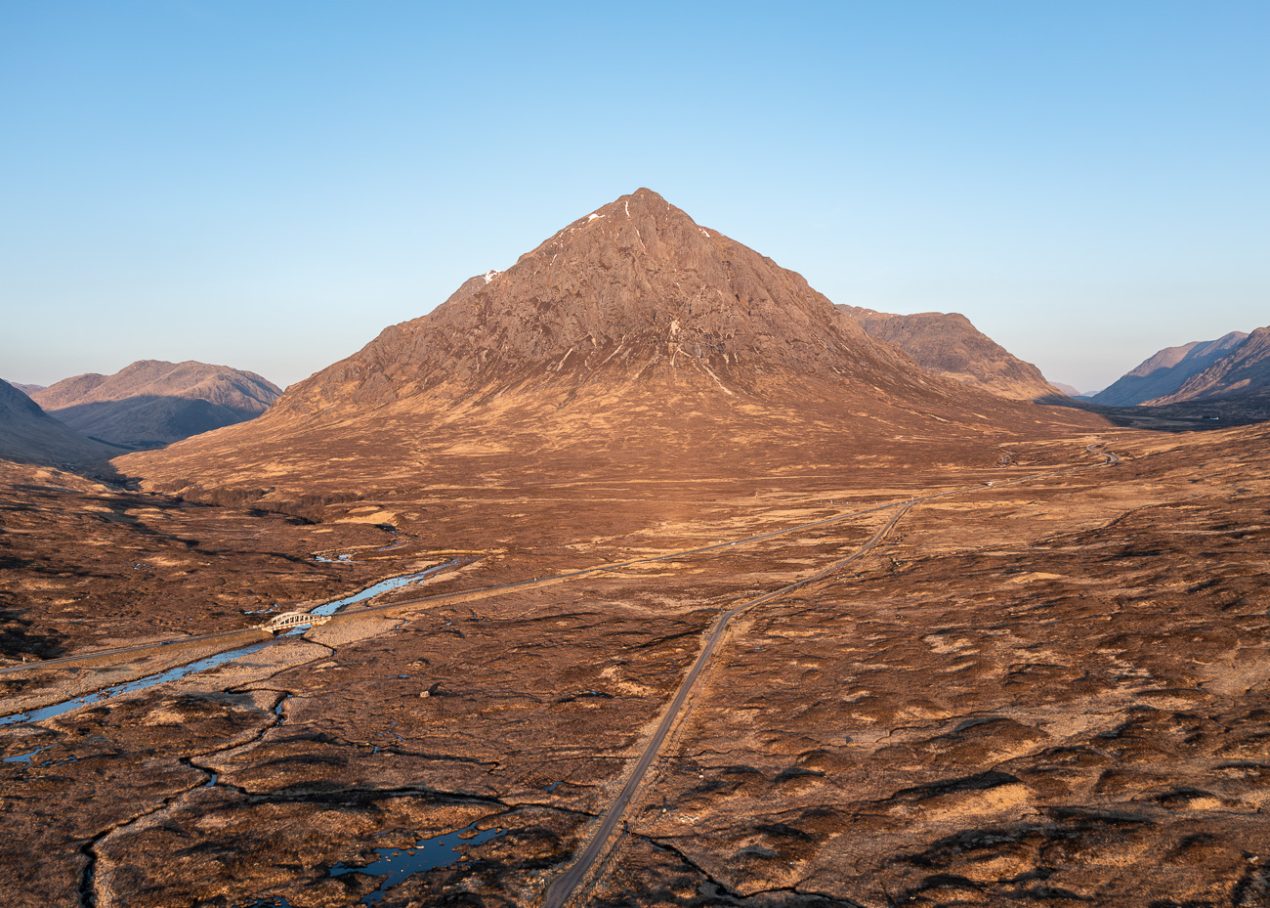
Herdsman
The iconic Buachaille Etive Mòr (Great Herdsman of Etive) stands as a sentinel on the edge of Rannoch Moor, its pyramidal form instantly recognisable. From above, the road across the moor blends into the background, hardly more visible than the deer trails that crisscross the ground below. In the ‘picture postcard’ view of the landscape, human intervention can seem diminished, while the deer—their trails largely invisible from ground level—leave their own mark, shaping the vegetation in ways we’ve stopped noticing, their impact hidden in plain sight.
Hut Circles
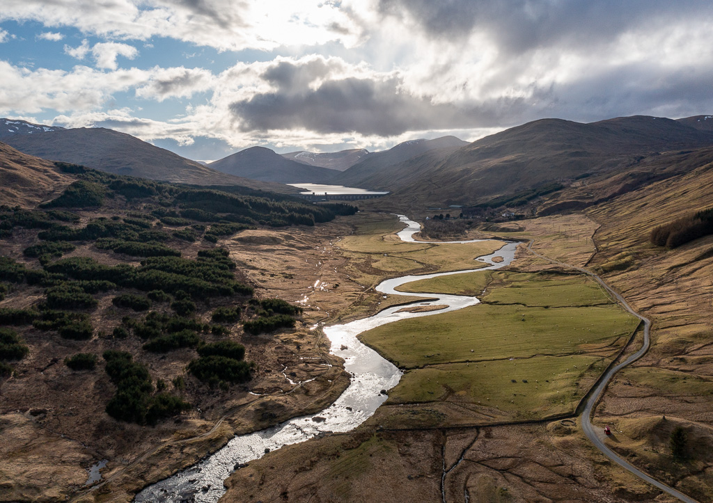
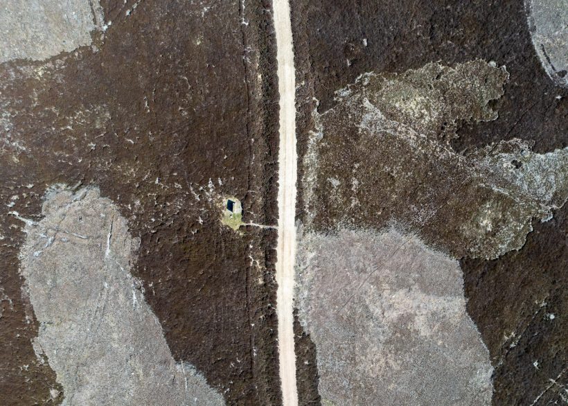
A dammed river, plantations, sheep pasture, bare hillsides—it could be almost any Scottish glen. But beneath this familiar landscape lie hidden stories. The remains of abandoned buildings hint at lost settlements, while close to this spot is a memorial cairn for Robert Campbell (1808–1894), a native of the glen and a notable explorer of the Arctic regions of Canada. His life spanned a time when sweeping changes forced many to seek opportunity far beyond their home—a pattern that continues today, as economic pressures and limited prospects still drive people from the land.
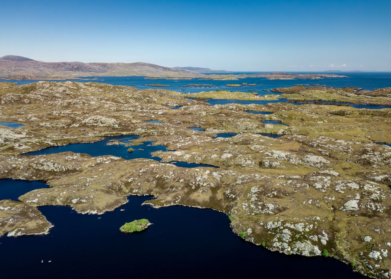

Green Island
Islands act as natural refuges for plants, shrubs, and trees by providing protection from excessive grazing by deer and sheep. In areas where herbivores are abundant, their constant browsing prevents young trees from growing, stunts the regeneration of native woodlands, and limits plant diversity. However, on islands—whether naturally occurring or created by fencing and other conservation efforts—vegetation can flourish, offering a glimpse into how the landscape might appear if grazing pressure were reduced.
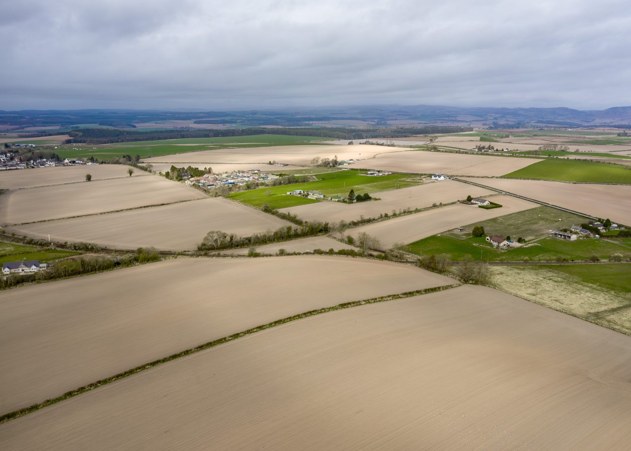

Potato Furrows
Much of the landscape in lowland Scotland is dominated by agriculture—fields have become vast canvases, their scale visible only from above. What appears to be natural at ground level is, in fact, a patchwork shaped by cycles of cultivation over generations, where the contours of the land are overlaid with geometry and repetition—a landscape engineered to meet our needs.

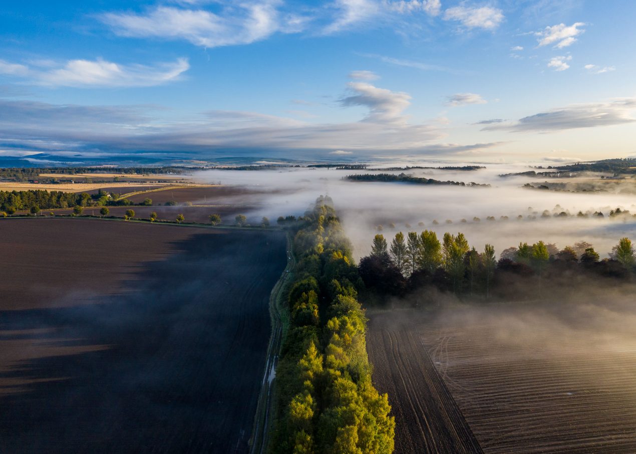
Potato Furrows: Beneath
Freshly planted potato furrows from above.
Digital photographic print on aluminium dibond. Framed. 54 x 75 cm.
Scottish Landscape Awards 2025
– HIGHLY COMMENDED
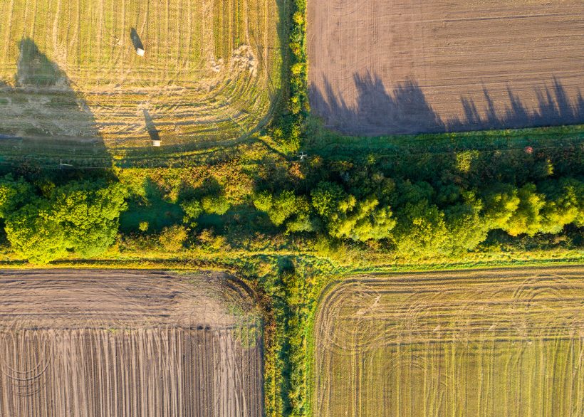
Green Corridor
Disused railway lines have become vital wildlife corridors, providing shelter, food, and safe passage for birds, mammals, and insects. But they also tell stories of past industry. Now a core path, the branch line that once connected Perth to Blairgowrie was a key artery of Perthshire’s textile trade. Built in the 19th century, it carried raw materials and finished goods between the mills and wider markets. Though the tracks are long gone, the old line now serves different passengers—wildlife making its own journeys through a landscape shaped by agriculture and industry.

Oak Woodland
Kinclaven Wood is one of the largest remnants of native oak woodland in Scotland — extensively replanted after the Second World War and now managed by the Woodland Trust, who promote it as the Bluebell Woods. At the boundary between the old woods and newer plantations stands a solitary beech, made famous by Outlander, where it was known as the Witness Tree. From above, its broad crown marks the meeting point between the textured canopy of native woodland and the darker, uniform lines of conifers.
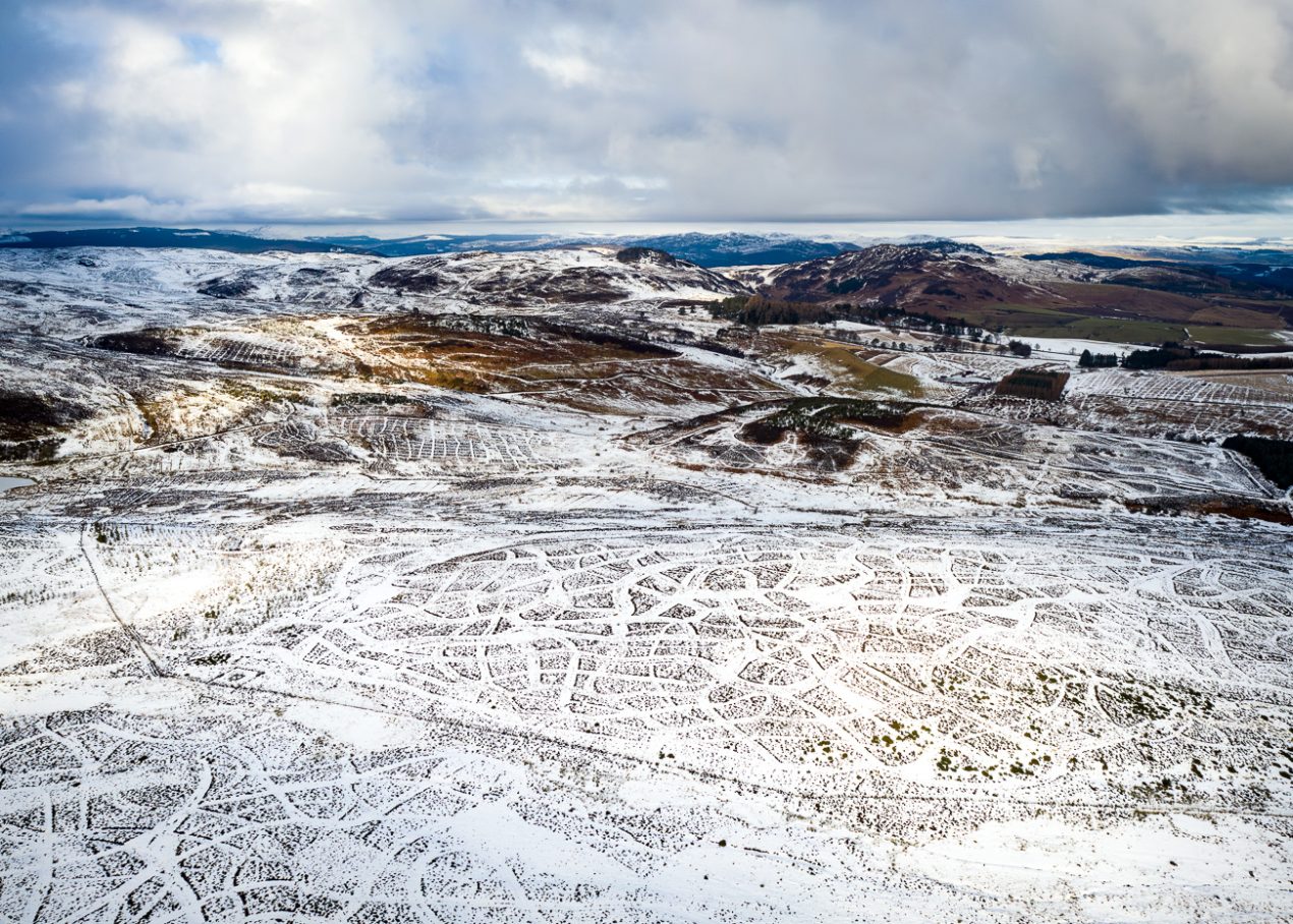
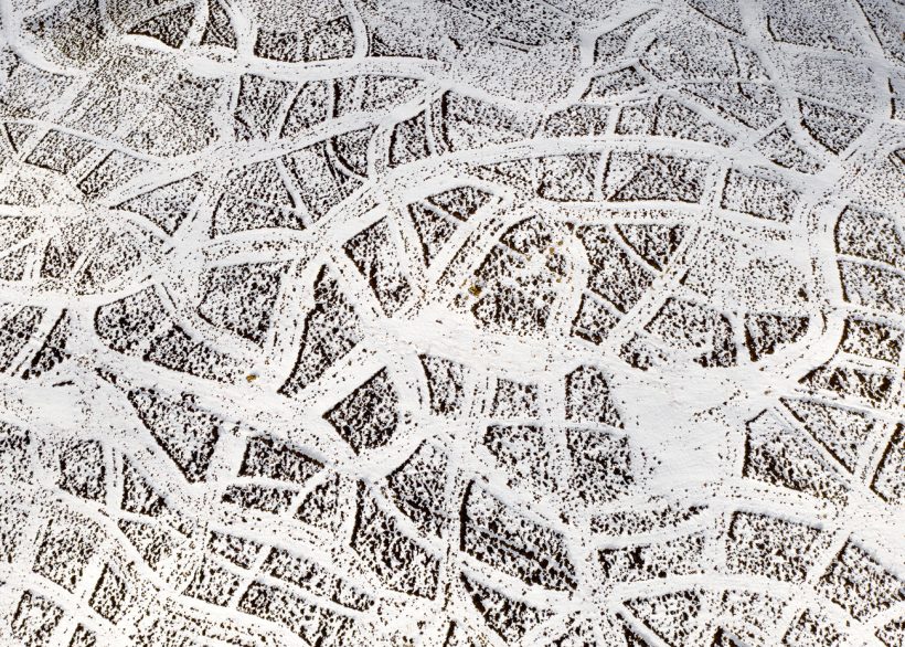
Pheasant Cuts
From the ground, it might pass unnoticed—but from the air, the landscape is etched with an intricate pattern of cuts. Here, swathes of heather have been mown to encourage fresh growth, providing food and cover for pheasants and grouse bred for sport. This intervention shapes the moorland with a geometry which is starkly revealed after a fresh covering of snow.
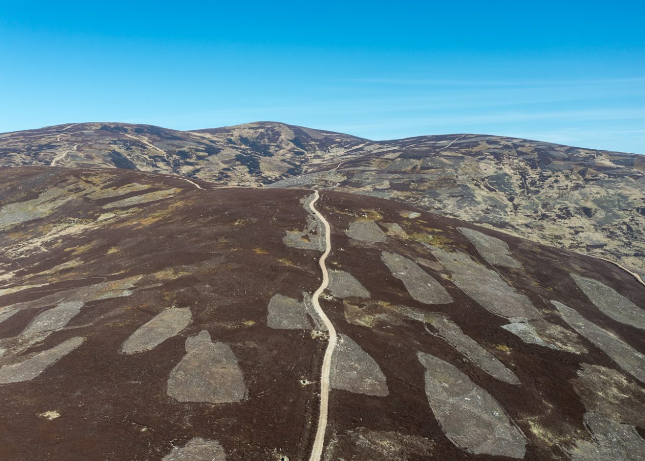
Muirburn
A patchwork of irregular shapes marks many upland areas of Scotland—evidence of muirburn, the controlled burning of heather to encourage new growth that provides both food and shelter for red grouse. Bulldozed tracks wind through the landscape, giving easy access to the many shooting butts that pepper the hillsides. From above, the scale of intervention is unmistakable, what appears wild at first glance is, in reality, carefully managed to encourage grouse to flourish—so they can be shot for sport.
Felling View
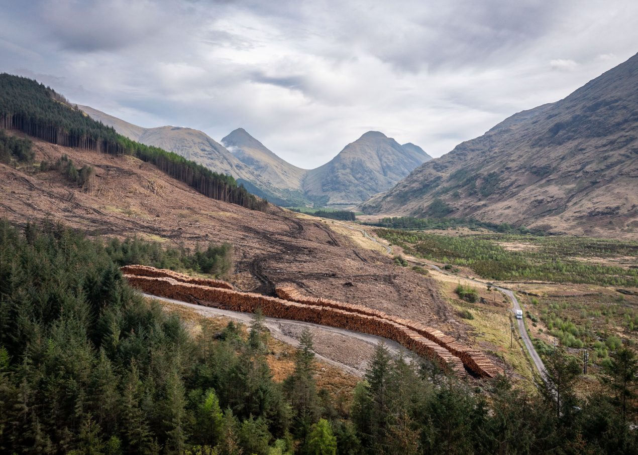
The aftermath of clear-felling exposes the scale of industrial forestry in Glen Etive. Vast tracts of plantation have been harvested, leaving behind a stark, scarred hillside and long stacks of timber. While run-of-river hydro schemes in this area have blended more discreetly into the land, tree felling leaves an unmistakable visual and ecological impact. Glen Etive is a designated National Scenic Area — yet here, economic land use and environmental values visibly collide.
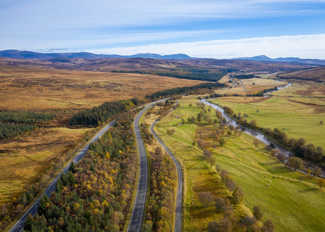
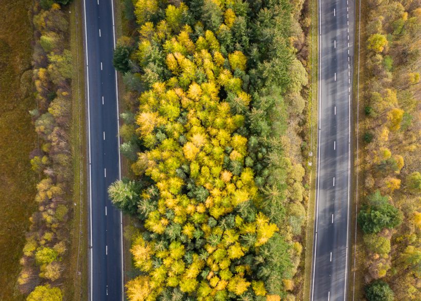
Central Reservation
The A9 cuts a line through the Highland landscape—a corridor of movement carved through moorland and pasture. On either side, grazed fields and open hills show the long reach of farming and the hand of estates managed for sport. But the narrow strip between the carriageways is protected from grazing, and over time trees have taken hold, revealing how quickly nature reasserts itself when grazing pressure is removed.